Home \ Blog \ How to Choose the Right Land Surveying Company in UAE
How to Choose the Right Land Surveying Company in UAE
May 25, 2026
Choosing the right land surveying company in UAE can determine the success of your construction or infrastructure project. From boundary verification to topographic mapping, professional surveying lays the groundwork for accurate planning. Whether you are developing a residential complex in Dubai or managing a civil engineering project in Abu Dhabi, reliable survey data is non-negotiable. This guide walks you through what to look for, the services that matter most, and how working with an expert land surveying company in UAE ensures precision from day one.
Key Takeaways
- A professional land surveying company in UAE provides critical spatial data that supports construction, infrastructure, and real estate development projects.
- Core services include topographic surveys, boundary surveys, engineering surveys, and geospatial data analysis tailored to UAE regulations.
- Partnering with a land surveying company in Abu Dhabi or across the UAE ensures your project is built on accurate, verified data from the start.
Why Land Surveying Is the Foundation of Every UAE Project
Accurate land surveying protects your investment by establishing reliable spatial data before any construction or planning activity begins.
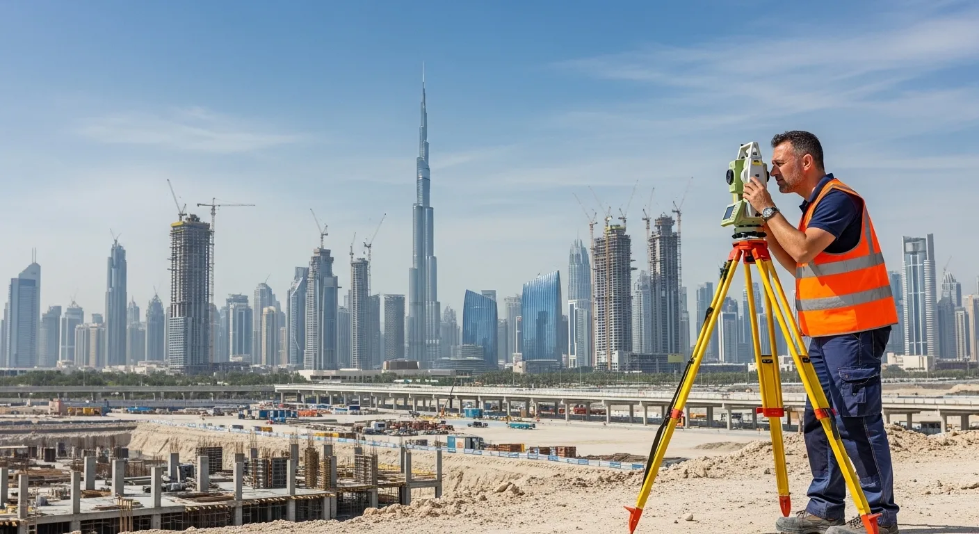
Every construction and infrastructure project in the UAE starts with land data. Surveying establishes legal boundaries, confirms site dimensions, and captures terrain details that architects and engineers rely on. Without verified survey data, teams risk costly rework, legal disputes over property lines, or structural designs that do not match actual ground conditions. A trusted land surveying company in UAE brings precision technology and regional expertise to every site assessment. With projects across Abu Dhabi, Dubai, and beyond, the demand for licensed, experienced surveyors has grown significantly with the UAE’s fast-moving development pipeline.
Core Services Offered by a Professional Land Surveying Company in UAE
Understanding the range of surveying services available helps project managers select the right support for each phase of development.
A reputable land surveying company in UAE typically offers a full suite of geospatial services, including:
- Topographic Surveys: Capture elevation, contours, and natural features across a site, providing the data needed for drainage design, grading, and master planning.
- Boundary Surveys: Define legal property lines to prevent disputes during land acquisition, subdivision, or title registration.
- Engineering Surveys: Support civil and structural engineers with precise measurements for road alignments, utility placements, and building foundations.
- Construction Surveys: Monitor construction progress and ensure that built structures match approved design specifications at every stage.
- Geospatial Data Services: Deliver detailed mapping and spatial analysis that integrates with GIS platforms used by government agencies and private developers.
These services work together to provide a complete picture of any site, from raw land to final structure. According to the International Federation of Surveyors (FIG), accurate surveying directly reduces risk in construction and improves project delivery timelines.
What Sets a Land Surveying Company in Abu Dhabi Apart
Regional expertise and knowledge of local regulations are critical factors when choosing a land surveying partner in Abu Dhabi.
Working with a dedicated land surveying company in Abu Dhabi offers distinct advantages for projects within the emirate. Abu Dhabi has specific land use regulations, zoning requirements, and authority approvals that require local experience to navigate efficiently. Surveyors familiar with the Abu Dhabi Department of Municipalities and Transport (DMT) standards can streamline permitting and ensure that survey deliverables meet all submission requirements. This saves project teams significant time and reduces back-and-forth with regulatory bodies. For developers and engineering firms operating in the capital, local expertise is not a bonus; it is a project requirement.
Modern Technology Used by UAE Land Surveying Companies
Advanced surveying technology improves data accuracy, speeds up field work, and delivers more actionable insights for project teams.
The best land surveying companies in UAE invest in modern equipment and digital workflows. Technologies commonly used include:
- Total Stations and GPS/GNSS Equipment: Deliver centimetre-level accuracy for boundary and construction surveys.
- Drone-Based Aerial Surveys: Capture large site areas quickly, particularly useful for topographic surveys across expansive infrastructure projects.
- 3D Laser Scanning: Produces detailed point cloud data ideal for as-built documentation and complex engineering surveys.
- GIS Integration: Allows spatial data to be layered, analyzed, and shared digitally across project teams.
These tools reduce human error and enable faster turnaround of survey reports. For construction timelines that cannot afford delays, technology-driven surveying is a competitive advantage. Explore how topographic survey and mapping services leverage these tools to deliver reliable site data for UAE projects.
How to Evaluate and Select the Right Surveying Partner in UAE
Selecting the right surveying partner involves assessing credentials, technology capability, and track record across relevant project types.
With several surveying firms operating across the UAE, project managers need a clear evaluation framework. Consider the following when shortlisting a land surveying company in UAE:
- Licensing and Accreditation: Confirm the firm is licensed by relevant UAE authorities such as the Abu Dhabi Department of Municipalities and Transport or Dubai’s relevant land authority.
- Project Experience: Look for demonstrated experience in project types similar to yours, whether residential, commercial, or infrastructure.
- Technology Infrastructure: Firms that use modern equipment and deliver digital outputs integrate more smoothly with modern engineering workflows.
- Turnaround and Communication: Fast, transparent communication is essential when project timelines are tight.
- Comprehensive Service Offering: A firm that offers multiple survey types, from boundary to geospatial analysis, gives you a single point of contact across project phases.
Review available construction surveys to understand the scope of support your development team can access.
Conclusion
Selecting a qualified land surveying company in UAE is one of the most important early decisions in any construction or infrastructure project. Accurate surveying data underpins everything from legal land ownership to structural engineering. Whether your project is in Abu Dhabi, Dubai, or elsewhere across the Emirates, working with experienced professionals ensures your plans are built on solid, verified ground. From topographic and boundary surveys to advanced geospatial services, the right team makes a measurable difference in project outcomes. Contact Global Map Survey today to discuss your project requirements and get reliable survey support from day one.
AN ISO 9001-2015 CERTIFIED COMPANY