Home / Blog
Blog
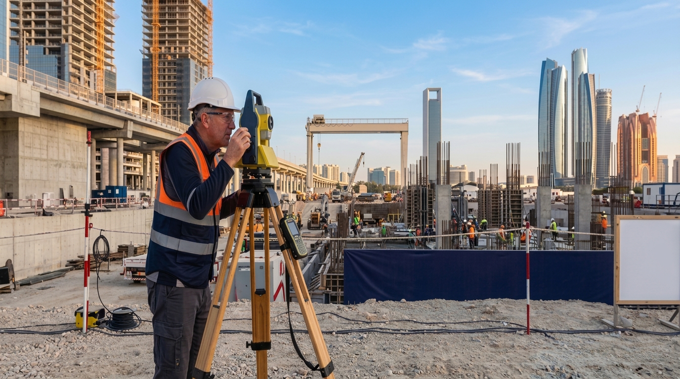
Common Surveying Errors That Delay Construction Projects and How to Avoid Them
Even minor surveying errors can cascade into significant project delays, cost overruns, and structural failures, which is why accurate survey work forms such a critical foundation for every development. Professional construction survey companies in Abu Dhabi shape every phase of a project, from initial site assessment through to final handover,…
Read More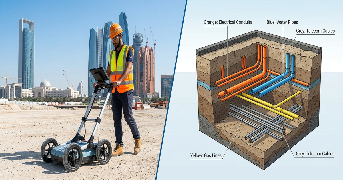
6 Benefits of Accurate Underground Utility Mapping for Infrastructure Projects
Underground utility mapping is no longer optional for modern infrastructure projects. Every time a construction crew breaks ground without verified underground data, they risk striking buried cables, pipes, or conduits. The consequences range from costly project delays to life-threatening accidents. In regions where large-scale infrastructure development is accelerating, accurate underground…
Read More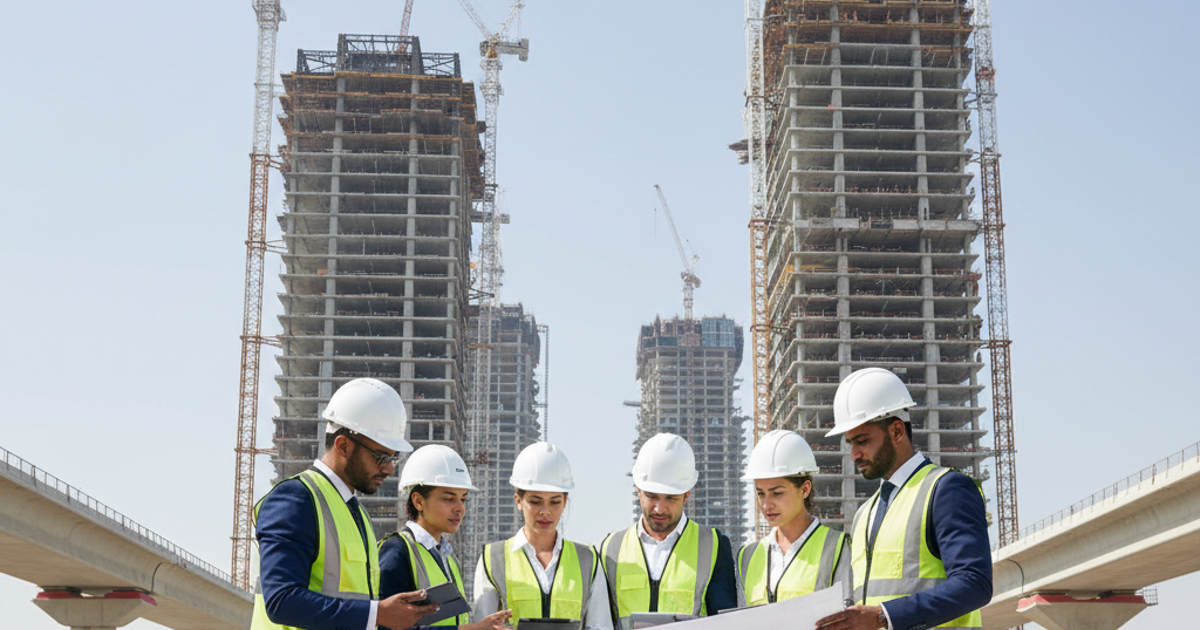
Top Project Management Consultants in UAE: Complete Guide
Hiring the right project management consultants in UAE can be the difference between a project that runs on time and one that spirals out of control. The UAE construction sector is one of the most dynamic in the world, with billions of dirhams invested in infrastructure, real estate, and civil…
Read More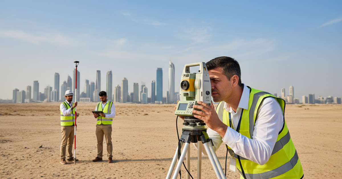
Geographic Survey in Abu Dhabi: A Complete Guide
Geographic survey in Abu Dhabi plays a critical role in shaping the emirate's rapidly growing infrastructure and construction landscape. From large-scale urban development projects to precise boundary mapping, geographic surveys provide the spatial data foundation that engineers, developers, and planners rely on. Whether you are managing a construction project, planning…
Read More
How AI Is Transforming Utility Survey Services in UAE
Introduction The UAE's construction sector is growing faster than ever, and so are the risks buried beneath the surface. Every infrastructure project depends on knowing exactly where underground utilities lie before any excavation begins. Utility survey services in UAE are now at a turning point, as artificial intelligence enters the…
Read More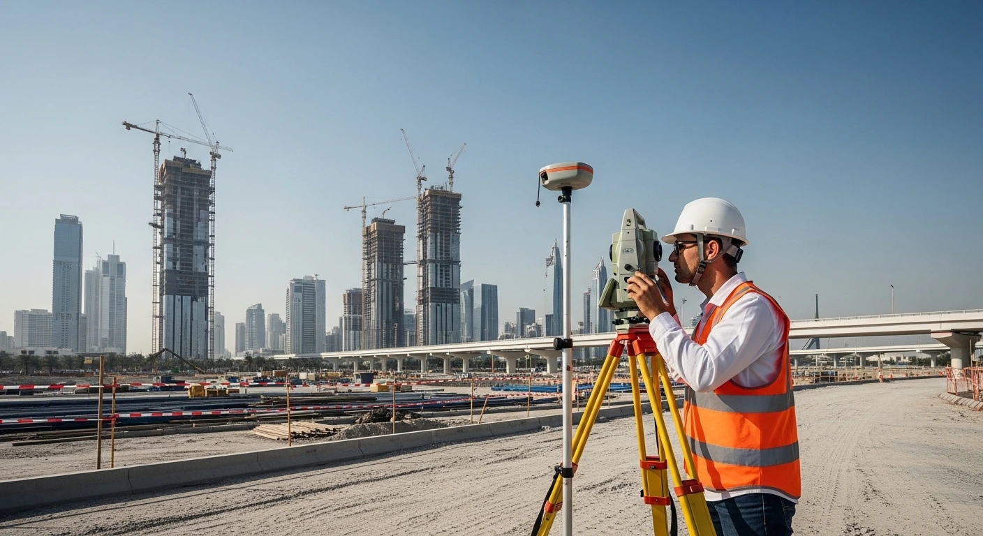
Complete Guide to Property Survey Services in UAE
The UAE is one of the most ambitious construction and real estate markets in the world. Accurate property survey services in UAE sit at the heart of every successful development, from residential towers in Dubai to large infrastructure corridors across Abu Dhabi and Sharjah. Without verified survey data, projects face…
Read More
What Makes Reliable Hydrographic Survey Companies in UAE
The UAE's coastline stretches across more than 1,318 kilometers, supporting one of the most active maritime economies in the world. From large-scale port expansions to offshore pipeline installations, accurate underwater data is non-negotiable. Experienced marine surveyors in the UAE play a central role in the nation's infrastructure ecosystem. This blog…
Read More
What You Need to Know About Traffic Survey Services in UAE
The UAE is home to one of the most advanced road networks in the Middle East, and it continues to grow at a rapid pace. As new communities, highways, and transport corridors take shape, the need for accurate traffic survey services in UAE has never been greater. Traffic data underpins…
Read More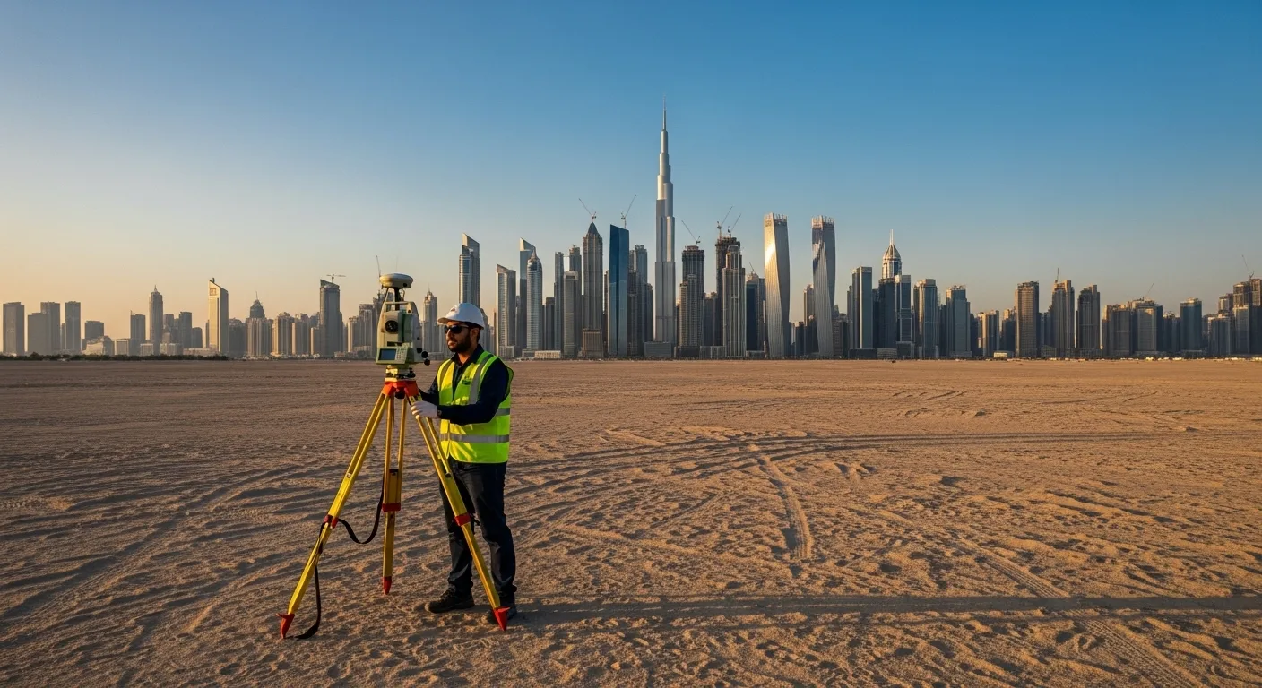
Topographical Survey Services in UAE: A Complete Guide
Introduction The UAE is one of the world's most active construction markets, with large-scale infrastructure projects reshaping its cities and coastlines every year. At the heart of every successful development lies a critical first step: topographical survey services in UAE. These surveys provide engineers, architects, and developers with precise spatial…
Read More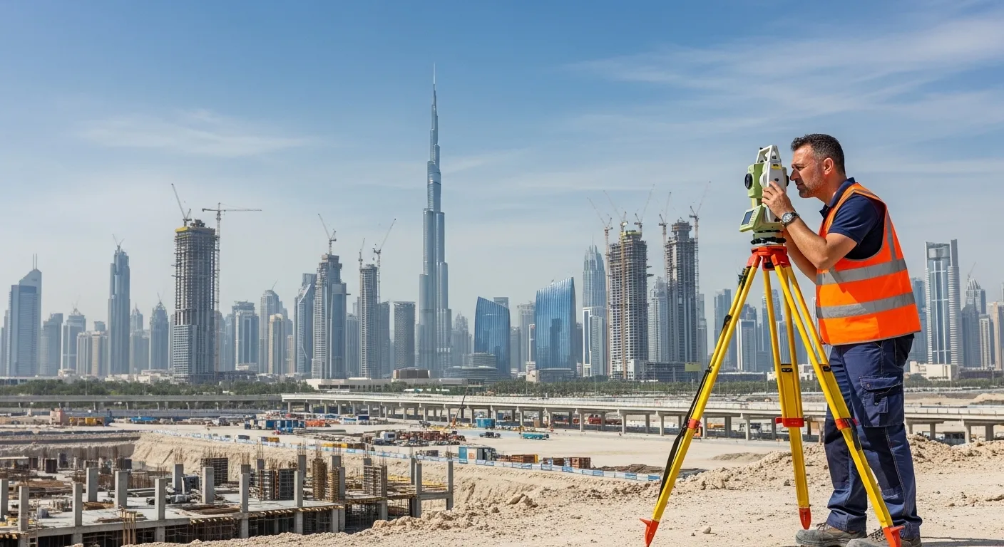
How to Choose the Right Land Surveying Company in UAE
Choosing the right land surveying company in UAE can determine the success of your construction or infrastructure project. From boundary verification to topographic mapping, professional surveying lays the groundwork for accurate planning. Whether you are developing a residential complex in Dubai or managing a civil engineering project in Abu Dhabi,…
Read MoreAN ISO 9001-2015 CERTIFIED COMPANY