Home \ Blog \ Blog Title Demo
Blog Title Demo
May 18, 2026
We specialize in pipelines, gas and oil well locations, unit surveys, construction layouts, topographical boundaries, subdivision design, title and boundary surveys, geodetic control surveys, digitizing, map reproduction and preparation, wetlands delineation, HDS laser scanning and dedicated online maps and 3D scanning services.
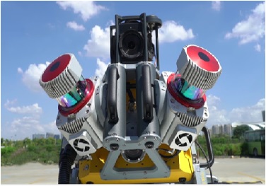
To achieve the quality results in surveys we are using most modern equipments viz. Trimble MX9 mobile mapper, Trimble R10 GPS units, Trimble S5 and S9 Total stations, Leica TS15 and TS 11 Total Stations, Leica P40 and RTC 360 Laser Scanners, GSSI DF GRPs, RD8100 Radio Detectors, Norbit iWBMS Multi-beam Echo sounder and Odom MK III single beam echo sounder, Trimble Dini digital levels Leica Na2 Auto levels etc.
AN ISO 9001-2015 CERTIFIED COMPANY